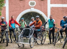
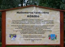
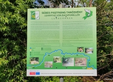
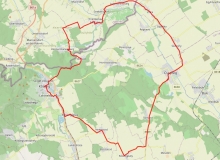
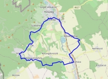
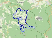
alpannonia® side road round trip - Írottkő-Bozsok-Velem-Írottkő
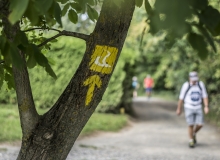
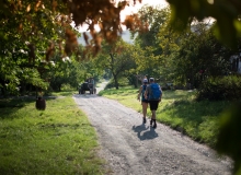
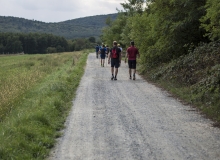
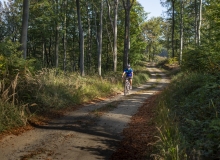
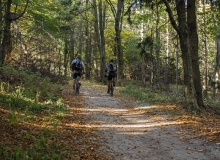
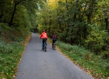
The 19km hike which follows the yellow and red signs of alpannonia® in its entirety, which can be completed in addition to the Írottkő peak with Velem and Bozsok departure.
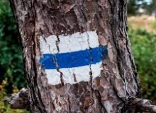
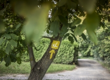
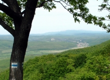
The highest point in Transdanubia and Burgenland is Írottkő. Following the yellow sign of alpannonia®, we descend, reach Bozsok next to caves, then walk through the forest of Sibrik Castle to the romantic village of Velem, from where we climb up the mountain again, first to St. Vid's Chapel, then back to the Hörmann spring and from there back to the top, the Írottkő.
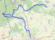
Térkép
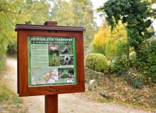
Látnivalók
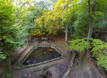
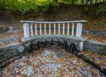
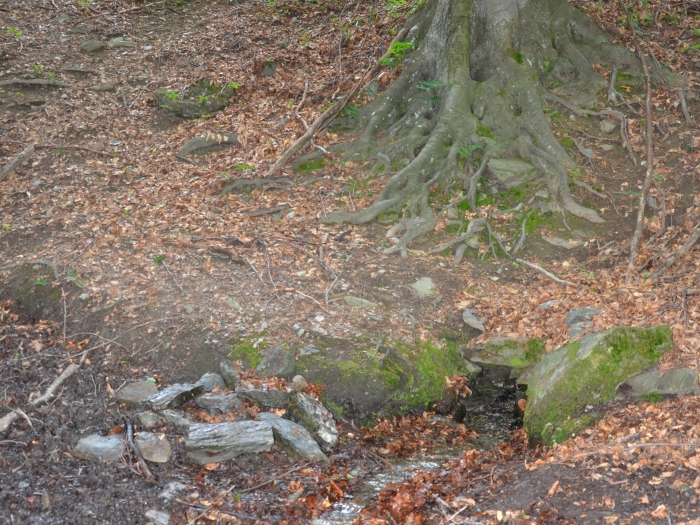
1. Hörmann-well GPS: 47.358645 / 16.459962
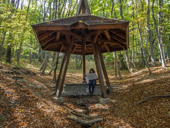
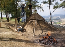
It is the highest spring in the Mountains of Kőszeg, 713 m above the sea level. Its original name was Csarmas-well, where the Csarmas brook came from. In the 18th century it got its current name from the tragically destined castellan of Kőszeg, Mihály Hörmann. In the autumn of 1620, Hörmann secretly admitted the insurgents standing on the side of Gábor Bethlen to the castle of Kőszeg, because of this the imperial troops later took revenge. According to legend, Mihály Hörmann fled to the cave at the Csarmas-well, but he was also found and executed here: he was skinned alive.
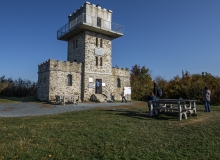
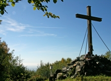
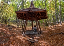
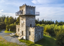
2. Írottkő Lookout Tower GPS: 47.352782 / 16.433706
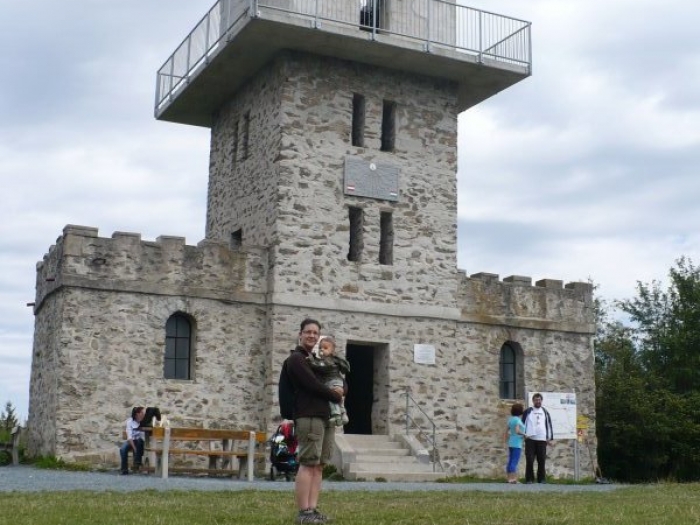
The highest point and lookout point of Transdanubia and Burgenland. Írottkő or as they used to call it Szálkő, is the highest point of the mountains of Kőszeg, the whole Western Hungary and Burgenland. The lookout tower on the hilltop, built in 1913, is since 1922 located in two countries at the same time. In clear weather it is possible to see the Lake Balaton, the Hills of Bakony or the Schneeberg and the Rax Mountains in Austria. The peak got its name from a former milestone near to it, i.e. „írott kő” = “written stone”. It can be approached from several directions on hiking trails. About 40 meters from the lookout tower, in an Austrian area, there is this rock formation that also gives the name of the peak, on which the engraved letters C B E can still be seen today, which may have marked the boundary line of the Batthyány and Esterházy estates (Confinia Batthyányana Esterhazyana). In the 14th century it is mentioned as Fenyőhegy (Pine Hill), which refers to the typical fir pines of the area. Until 1891, the Árpád Lookout Tower, and after its collapse, from 1913, the Írottkő Lookout Tower rises on the top of the mountain. It can be freely visited since 1990.
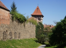
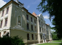
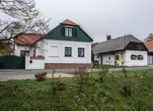
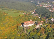
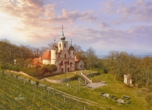
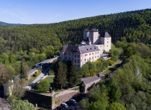
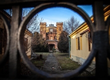
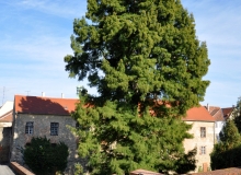
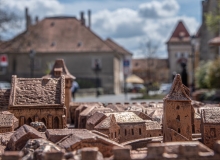
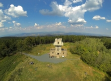
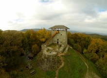
3. The Sibrik-Castle and its park GPS: 47.329971 / 16.491988
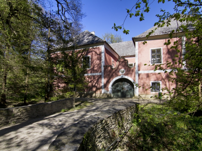
The former Sibrik-Castle functions as a castle hotel nowadays. Its park with a cool climate is worthy to take a walk in it. According to the assumptions the building was already existed in the 15th centrury. The single storied late renaissance type castle was constantly built on the medieval core between the 16th and the 17th century. On the southern and the western side the quadratic court is bounded by building. The other two sides are surrounded by a defensive wall. To the northeast stands a polygonal corner tower. The facade construction is noble simple. The only more ornate part is the entrance gate structure, closed with a broken lined ledge. We can see the coat of arms of the Sibrik and the Nádasdi family on it. It’s a double coat of arms with the 1614 date on it. The ground floor of the courtyard facade is designed with a basket arch porch. Its castle park is protected.
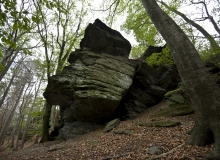
4. St. Vid’s Chapel and its surroundings GPS: 47.350791 / 16.478515
The chapel can be found at the highest point of St. Vid Hill. It is not a coincidence that during the Roman Empire a watchtower stood on the foundations in front of
the chapel. They protected the plumbing system from here that supplied the former Savaria, today Szombathely. Thousands of years ago these terraces were designed by the people who were living in the Bronze Age, which have been continuously inhabited throughout history. Climbing
up the only slope of our way, let’s take a look at the rock ridge which was apparently broken by human hands. On the side of the cliff we see a startling example of the nature’s struggle for the existence: an old beech tree with roots weaving on the rock. Reaching the chapel we reach the highest point of the St. Vid Hill. It ’s not a coincidence that during the Roman Empire a watchtower stood on the foundations in front of the chapel. They protected the plumbing system from here that supplied the former Savaria, today Szombathely with the water of the mountains of Kőszeg. On the stairs next to the chapel we can descend one terrace lower. From here we can really see the terrace system of the former settlement.
5. John Ebenspanger Spring GPS: 47.348911 / 16.442309
The highest unoccupied spring in the mountains The two highest, unoccupied springs of the Mountains of Kőszeg are the Fairy Spring and the John Ebenspanger Spring. In 1900, on the occasion of an excursion to Írottkő, "Miss Irénke Tatay" named the source after John Ebenspanger,who was one of the founders and secretaries of the first tourist organization in Western Hungary (Vasvár County Department of the Hungarian Carpathian Association). The first marked hiking trails of the Kőszeg Mountains are connected to his name. It is sometimes simply referred to as the John Spring.
6. The Fairy Spring GPS: 47.348162 / 16.442760
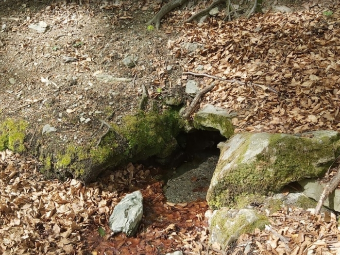
The spring, also called the Fairy-Well is an unoccupied spring. It is one of the highest springs in the Mountains of Kőszeg, an unoccupied spring. It can be reached by a blue circle branching off from the blue sign leading from Bozsok to Írottkő. The name of the spring in the vicinity of the Ebenspanger-spring dates back to the late 1800s.
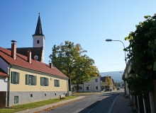
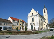
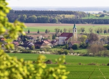
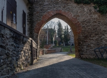
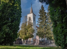
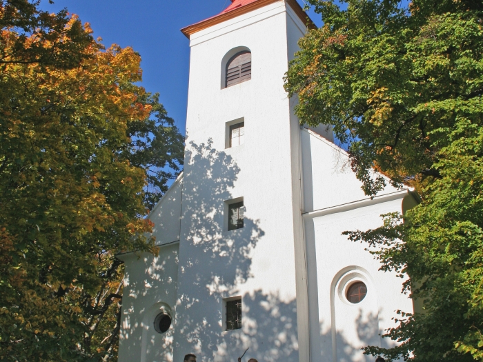
7. Saint Anne Church GPS: 47.325853 / 16.491795

Medieval catholic church The medieval catholic church was consecrated by Ferenc Sennyei in 1630 in honor of Saint Anne, who was the grandmother of Jesus. It was renovated in 1743, then in 1772 they expended in baroque style. From then on it’s a single-nave church. Its sanctuary is slimmer than its nave with a straight closure. Its tower stands on the north side of the nave, based on its medieval proportions. Next to the current lysens on the inner sanctuary side there are definite wall ends in the nave wall with original fragments of medieval plaster. A former sundial was also found on the wall of the church. The church garden is surrounded by a fortress-like fence. The new liturgical spatial arrangement is the work of György Dominek from 1972. At the time they were painted the pictorial compositions which are still visible today on the ceiling.
További városnéző séták