Írottkő 03 - From Velem to the Írottkő
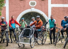
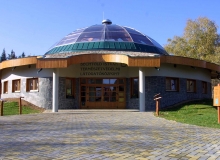
The shortest way to the Írottkő is by bus.
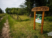
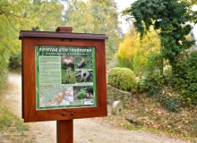
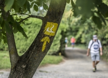
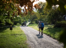
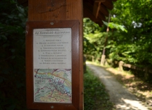
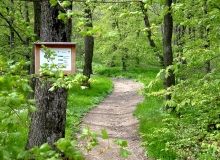
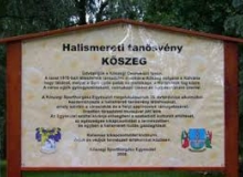
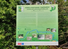
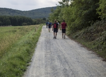
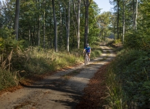
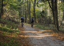
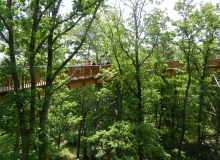
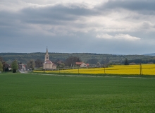
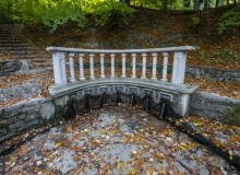
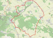
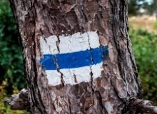
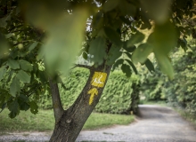
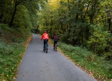
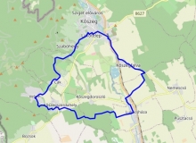
If we took the public transport to the Írottkő, the shortest route it can be approached is from Velem through the beech forest of the shady Long-Valley by touching the Asztalkő on the red path and then on the blue lane (RPDDK). After admiring the wonderful panorama from the Írottkő lookout tower, down on the green and blue lanes we can see the Írottkő educational trail, which presents the 16 Hungarian settlements of the Naturpark, then we descend from the Hörmann-well at the blue cross signs next to the Church of St. Vid, and then we go back to the bus stop following the educational trail: Hill of Cultures. Length: 11.2 km, time without rest is about 4 hours, level rise: 640 m
Térkép
Látnivalók
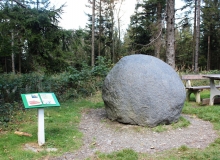
1. Asztalkő (Table-stone) GPS: 47.3514200 / 16.4510617
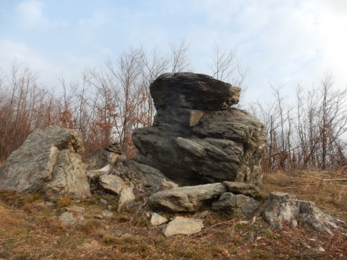
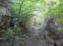
Typical rock, which is a popular resting place. A characteristic shaped phyllite rock can be reached by a small 100-meter detour (red triangle) along the red marked route from Velem to Írottkő.
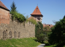
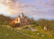
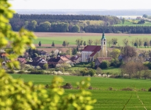
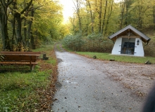
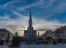
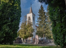
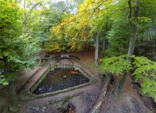
2. St. Vid’s Chapel and its surroundings GPS: 47.350791 / 16.478515
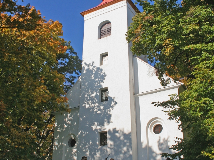
The chapel can be found at the highest point of St. Vid Hill. It is not a coincidence that during the Roman Empire a watchtower stood on the foundations in front of
the chapel. They protected the plumbing system from here that supplied the former Savaria, today Szombathely. Thousands of years ago these terraces were designed by the people who were living in the Bronze Age, which have been continuously inhabited throughout history. Climbing
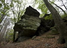
up the only slope of our way, let’s take a look at the rock ridge which was apparently broken by human hands. On the side of the cliff we see a startling example of the nature’s struggle for the existence: an old beech tree with roots weaving on the rock. Reaching the chapel we reach the highest point of the St. Vid Hill. It ’s not a coincidence that during the Roman Empire a watchtower stood on the foundations in front of the chapel. They protected the plumbing system from here that supplied the former Savaria, today Szombathely with the water of the mountains of Kőszeg. On the stairs next to the chapel we can descend one terrace lower. From here we can really see the terrace system of the former settlement.
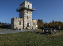
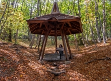
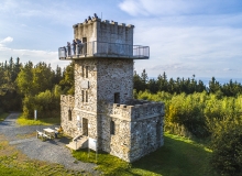
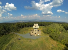
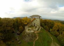
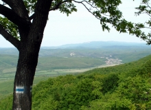
3. Írottkő Lookout Tower GPS: 47.352782 / 16.433706
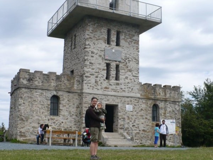
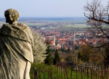
The highest point and lookout point of Transdanubia and Burgenland. Írottkő or as they used to call it Szálkő, is the highest point of the mountains of Kőszeg, the whole Western Hungary and Burgenland. The lookout tower on the hilltop, built in 1913, is since 1922 located in two countries at the same time. In clear weather it is possible to see the Lake Balaton, the Hills of Bakony or the Schneeberg and the Rax Mountains in Austria. The peak got its name from a former milestone near to it, i.e. „írott kő” = “written stone”. It can be approached from several directions on hiking trails. About 40 meters from the lookout tower, in an Austrian area, there is this rock formation that also gives the name of the peak, on which the engraved letters C B E can still be seen today, which may have marked the boundary line of the Batthyány and Esterházy estates (Confinia Batthyányana Esterhazyana). In the 14th century it is mentioned as Fenyőhegy (Pine Hill), which refers to the typical fir pines of the area. Until 1891, the Árpád Lookout Tower, and after its collapse, from 1913, the Írottkő Lookout Tower rises on the top of the mountain. It can be freely visited since 1990.
További városnéző séták