Through the Kalapos(hatter)-stones to the Írottkő
A great hike to learn about the rock formations, wells and the highest peak of the mountain.
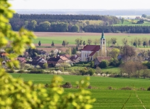
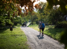
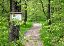
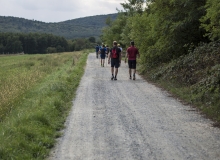
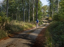
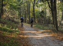
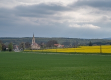
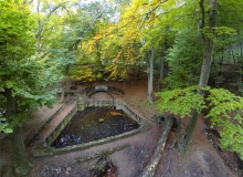
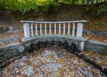
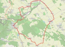
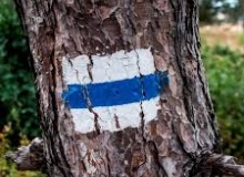
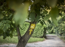
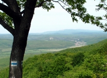
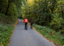
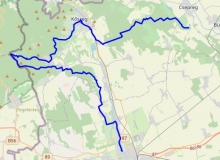
Írottkő or as they used to call it Szálkő, is the highest point of the mountains of Kőszeg, the whole Western Hungary and Burgenland. The lookout tower on the hilltop, built in 1913, is located in two countries at the same time. In clear weather it is possible to see the Lake Balaton, the Hills of Bakony or the Schneeberg and the Rax Mountains in Austria. The peak got its name from a former milestone near to it, i.e. „írott kő” = “written stone”. It can be approached from Bozsok on the Rockenbauer Pál South Transdanubia Blue Tour route marked with a blue bar. On the tour we can admire the special rock formations of Széleskő and Kalapos („Hatlike”) stones, we pass by wells and then after a rise of more than 600 meters we arrive at the magnificent panoramic Írottkő Lookout Tower which is rising on the state border. We descend back to Bozsok in the Dark Valley with its cozy and cool climate. The length of the tour is 9.2 km, about 6 hours.
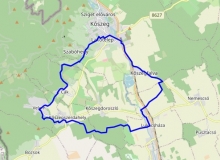
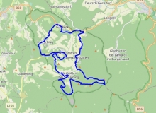
Térkép
Látnivalók
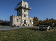
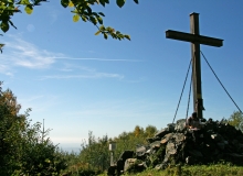
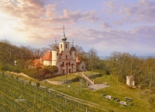
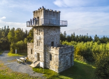
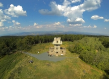
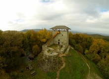
1. Írottkő Lookout Tower GPS: 47.352782 / 16.433706
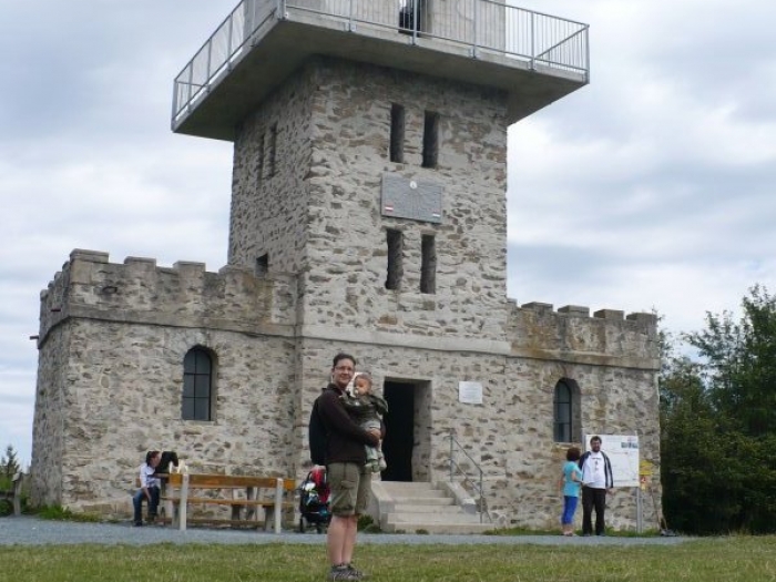
The highest point and lookout point of Transdanubia and Burgenland. Írottkő or as they used to call it Szálkő, is the highest point of the mountains of Kőszeg, the whole Western Hungary and Burgenland. The lookout tower on the hilltop, built in 1913, is since 1922 located in two countries at the same time. In clear weather it is possible to see the Lake Balaton, the Hills of Bakony or the Schneeberg and the Rax Mountains in Austria. The peak got its name from a former milestone near to it, i.e. „írott kő” = “written stone”. It can be approached from several directions on hiking trails. About 40 meters from the lookout tower, in an Austrian area, there is this rock formation that also gives the name of the peak, on which the engraved letters C B E can still be seen today, which may have marked the boundary line of the Batthyány and Esterházy estates (Confinia Batthyányana Esterhazyana). In the 14th century it is mentioned as Fenyőhegy (Pine Hill), which refers to the typical fir pines of the area. Until 1891, the Árpád Lookout Tower, and after its collapse, from 1913, the Írottkő Lookout Tower rises on the top of the mountain. It can be freely visited since 1990.
2. Széleskő GPS: 47.33395438443526 / 16.476054491768185

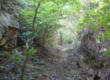
The layered appearance of the green slate rock can be admired on a huge rock wall. If we are going up the National Blue Circle on the line of the technical lock, when we turn left following the route, we will start to the right to the Széleskő. We arrive at the top of a rock wall rising above the wooded valley, which is worth walking around up and down. (Be careful on the edges, because the soil can slip under us due to fragmentation!) The shale of the green slate, which looks like a stratification, can be wonderfully observed.
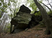
3. Kalapos-kő (Hatter Stone) GPS: 47.332859 / 16.469611

The rock formations on the surface of the green slate, delight the visiting tourist with interesting shapes. In the mountains of Kőszeg we can find green slate only around Bozsok. The formation due to the volcanic activites in the Middle ages. The subsequent metamorphosis transformed the rocks into green slates. The process due to the orogeny of the Alps. In the marine environment there was sedimentation too. The surface formation of the green slate due to a calcic part of the sea sediment which weathered much more easily, while the harder rocks („hats”) were more resistent against the weather. There are several small caves in the area.
További városnéző séták